O20A
White River City, CO, USA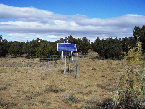
The USArray component of the NSF-funded EarthScope project ended its observational period in September 2021 and all remaining close-out tasks concluded in March 2022. Hundreds of seismic stations were transferred to other operators and continue to collect scientific observations. This USArray.org website is now in an archival state and will no longer be updated. To learn more about this project and the science it continues to enable, please view publications here: http://usarray.org/researchers/pubs and citations of the Transportable Array network DOI 10.7914/SN/TA.
To further advance geophysics support for the geophysics community, UNAVCO and IRIS are merging. The merged organization will be called EarthScope Consortium. As our science becomes more convergent, there is benefit to examining how we can support research and education as a single organization to conduct and advance cutting-edge geophysics. See our Joining Forces website for more information. The site earthscope.org will soon host the new EarthScope Consortium website.


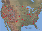
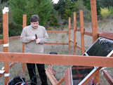
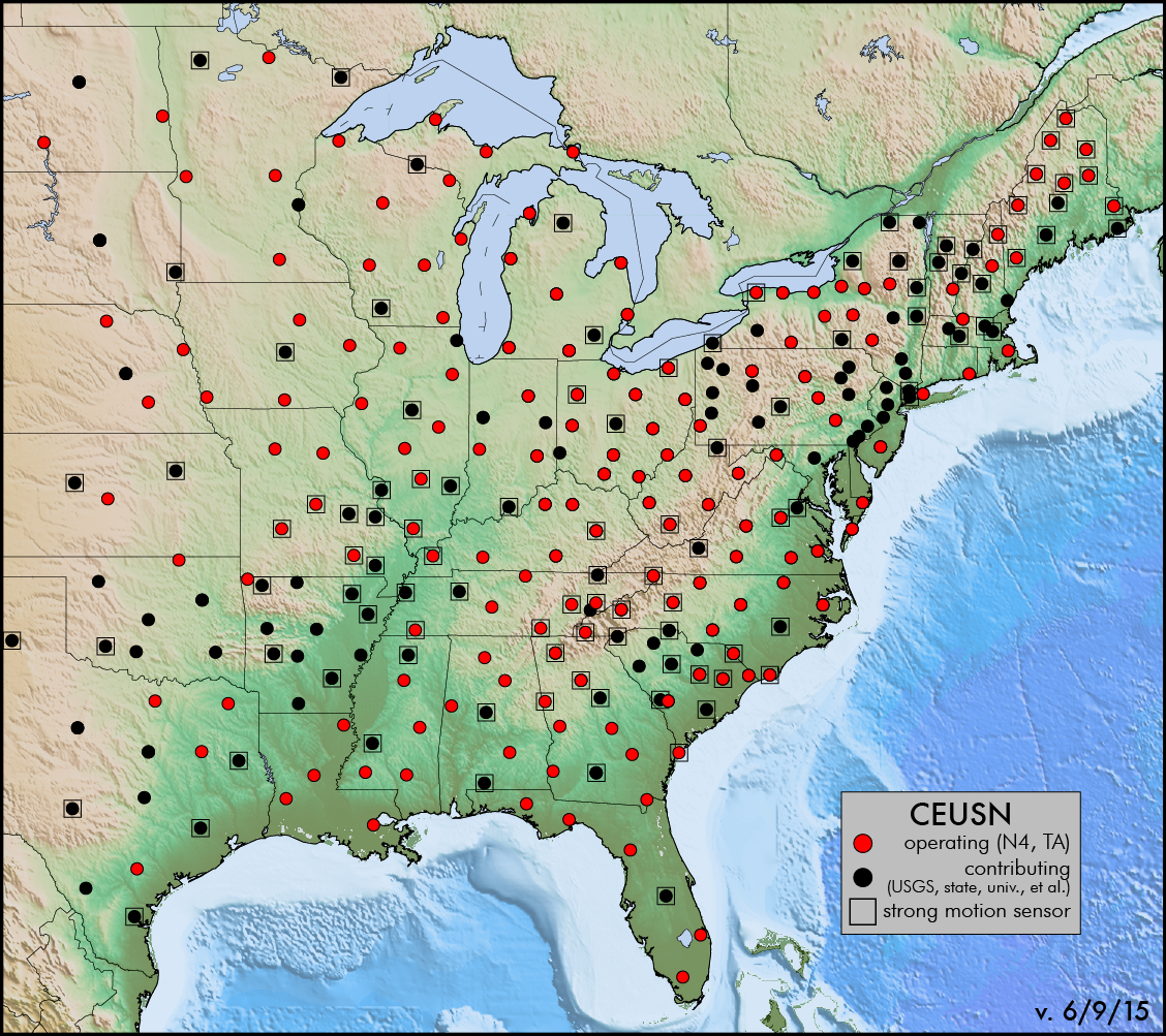
Recent earthquakes in the CEUS, including the 2011 M5.8 Virginia earthquake, have raised awareness of the comparative lack of knowledge about seismicity, site response to ground shaking, and the basic geologic underpinnings in this densely populated region of the country. The mission of the CEUSN is to produce data that enables researchers and Federal agencies alike to better understand the basic geologic questions, background rates of earthquake occurrence and distribution, seismic hazard potential, and associated societal risks of this region. Read More
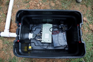
MAGIC involves a collaborative effort among seismologists, geodynamicists, and geomorphologists. We are undertaking a two-year deployment of 28 broadband seismometers in a dense linear transect from the Atlantic coast to the continental interior. In combination with EarthScope USArray Transportable Array (TA) stations our experiment geometry will provide an opportunity to image isotropic and anisotropic crust and mantle structure from the coast to the continental interior in unprecedented detail, using techniques such as shear wave splitting, receiver function analysis, and tomographic inversions. Read More
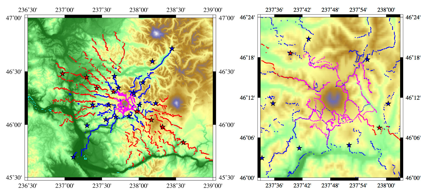
This project focuses on the Mount St. Helens volcanic edifice, (WA, USA), whose explosive eruption in 1980 attracted the world's attention, and was the first volcano to be thoroughly monitored with modern instruments. Mount St. Helens provides an ideal setting to apply state-of-the-art geophysical and geochemical techniques to image its subterranean roots: It is active, easily accessible, and has a well recorded past history. Read More
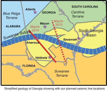
Investigators are using travel-time tomography to create velocity models that reveal the distribution of igneous rocks, variations in the thickness of the crust and variations in crustal composition. Besides a better understanding of fundamental tectonic processes, other benefits of this program include training and education of students, and characterization of basins and igneous rocks that might be good targets for carbon sequestration. Read More