

MSTX
Muleshoe, TX, USA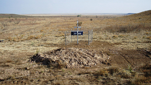
The USArray component of the NSF-funded EarthScope project ended its observational period in September 2021 and all remaining close-out tasks concluded in March 2022. Hundreds of seismic stations were transferred to other operators and continue to collect scientific observations. This USArray.org website is now in an archival state and will no longer be updated. To learn more about this project and the science it continues to enable, please view publications here: http://usarray.org/researchers/pubs and citations of the Transportable Array network DOI 10.7914/SN/TA.
To further advance geophysics support for the geophysics community, UNAVCO and IRIS are merging. The merged organization will be called EarthScope Consortium. As our science becomes more convergent, there is benefit to examining how we can support research and education as a single organization to conduct and advance cutting-edge geophysics. See our Joining Forces website for more information. The site earthscope.org will soon host the new EarthScope Consortium website.

 The continents are the most complex and diverse parts of Earth. The interiors of continents contain the oldest rocks, and record the early formation and evolution of our planet. Continents are crisscrossed by faults, new and old, that developed to relieve the stress and strain of constant, though geologically slow, plate tectonic motion. Some of these faults can be mapped at the surface, but many have been either covered over by sediments deposited after they formed or are very deep and never reached Earth's surface.
To determine how features seen at Earth's surface correlate with structural and compositional differences deep within the planet, seismologists need denser networks of seismic stations so that they are recording seismic waves that propagate through finer and finer slices of the earth beneath them. This information will also enable scientists to link structures inherited from earlier stages of continental formation to known and potential geologic hazards (e.g., earthquakes, volcanoes, landslides).
The USArray consisted of four important observatories

