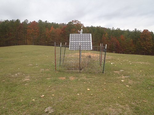
X40A
Basin Creek Farm, Marlvern, AR, USA
The USArray component of the NSF-funded EarthScope project ended its observational period in September 2021 and all remaining close-out tasks concluded in March 2022. Hundreds of seismic stations were transferred to other operators and continue to collect scientific observations. This USArray.org website is now in an archival state and will no longer be updated. To learn more about this project and the science it continues to enable, please view publications here: http://usarray.org/researchers/pubs and citations of the Transportable Array network DOI 10.7914/SN/TA.
To further advance geophysics support for the geophysics community, UNAVCO and IRIS are merging. The merged organization will be called EarthScope Consortium. As our science becomes more convergent, there is benefit to examining how we can support research and education as a single organization to conduct and advance cutting-edge geophysics. See our Joining Forces website for more information. The site earthscope.org will soon host the new EarthScope Consortium website.


Key USArray facilities include the Transportable Array of seismometers and atmospheric sensors, which was deployed progressively across the 48 contiguous states and is now moving to Alaska, and the pool of portable seismometers in the Flexible Array. They directly permit acquisition of the requisite seismic data for imaging subsurface structure at multiple scales and for studying earthquakes in many environments. USArray also consists of permanent broadband seismic stations—Reference Network—that provide a large-aperture, fixed grid of observing sites essential for tying together the 70-km-spaced grid of sequential Transportable Array deployments. Data acquired by USArray’s Magnetotelluric Facility supplement the seismic data by providing images of crustal and lithospheric conductivity structure. Transportable Array and Reference Network station distribution together provide unprecedented spatial coverage and uniformity of seismic wavefield sampling, enabling well-established and new seismological analyses to reveal deep Earth structure and to characterize earthquake sources throughout the continent. The scientific community is able to conduct a host of research projects with Transportable Array data and with separately funded field deployments of Flexible Array sensors.
Data collected from these EarthScope facilities are openly available to the scientific and educational communities.

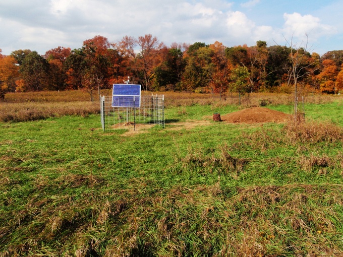
Station L44A in Lake County Forest Preserve, IL