

O03E
Paynes Creek, CA, USA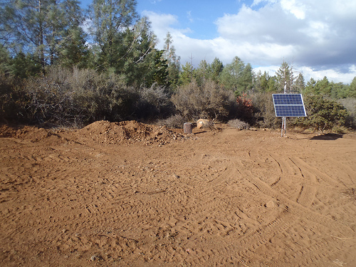
The USArray component of the NSF-funded EarthScope project ended its observational period in September 2021 and all remaining close-out tasks concluded in March 2022. Hundreds of seismic stations were transferred to other operators and continue to collect scientific observations. This USArray.org website is now in an archival state and will no longer be updated. To learn more about this project and the science it continues to enable, please view publications here: http://usarray.org/researchers/pubs and citations of the Transportable Array network DOI 10.7914/SN/TA.
To further advance geophysics support for the geophysics community, UNAVCO and IRIS are merging. The merged organization will be called EarthScope Consortium. As our science becomes more convergent, there is benefit to examining how we can support research and education as a single organization to conduct and advance cutting-edge geophysics. See our Joining Forces website for more information. The site earthscope.org will soon host the new EarthScope Consortium website.

The Transportable Array is a network of 400 high-quality broadband seismographs and atmospheric sensors that have been operated at temporary sites across the conterminous United States from west to east in a regular grid pattern. With station spacing of about 70 km, Transportable Array data are extremely useful for detecting small earthquakes and mapping the structure of Earth’s interior beneath North America. After a residence time of two years, each instrument is picked up and moved to the next carefully selected location on the eastern edge of the array. When completed, nearly 2000 locations will have been occupied during this program. All Transportable Array systems were acquired with funds provided by the National Science Foundation. In August 2007, the first footprint was established from north to south along the westernmost quarter of the United States. The TA finished its eastward migration in fall 2013, and is currently being deployed in Alaska. As part of the Cascadia Initiative, 27 additional TA stations were also redeployed to the Pacific Northwest where they will operate until at least the fall of 2015.
Each of the Transportable Array stations consists of a three-component broadband seismometer with associated signal processing, power, and communications equipment. In the early phase of the experiment, significant effort was devoted to the design of the temporary vaults to house the instruments, which resulted in a configuration that provides both high-quality data and a data return of greater than 90%. Data from each station are continuously transmitted to the Array Network Facility at the University of California, San Diego, where initial operational and quality checks are performed, and then sent to the IRIS Data Management Center, where all data and associated metadata are archived.


