

K02D
Willamette Meridian, OR, USA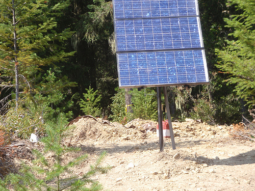
The USArray component of the NSF-funded EarthScope project ended its observational period in September 2021 and all remaining close-out tasks concluded in March 2022. Hundreds of seismic stations were transferred to other operators and continue to collect scientific observations. This USArray.org website is now in an archival state and will no longer be updated. To learn more about this project and the science it continues to enable, please view publications here: http://usarray.org/researchers/pubs and citations of the Transportable Array network DOI 10.7914/SN/TA.
To further advance geophysics support for the geophysics community, UNAVCO and IRIS are merging. The merged organization will be called EarthScope Consortium. As our science becomes more convergent, there is benefit to examining how we can support research and education as a single organization to conduct and advance cutting-edge geophysics. See our Joining Forces website for more information. The site earthscope.org will soon host the new EarthScope Consortium website.

A key element of the EarthScope seismic observation system was a dispersed permanent network that provided a long-term reference frame for comparison of observations made with the denser, but transient, Transportable Array as it crossed the country. This Reference Network was developed in close collaboration with the USGS as an augmentation to the backbone component of the USGS Advanced National Seismic System (ANSS). EarthScope contributed the installation and upgrading of 39 stations to the ANSS Backbone (this was referred to as the Permanent Array component of USArray and was completed September 30, 2006). The Transportable Array also installed 20 stations to improve the uniformity of the Reference Network coverage (these are often referred to as the Advanced Deployed TA stations), and these stations were operated for the duration of USArray.
As a result of these various efforts the Reference Network consists of more than 100 stations, at approximately 300-km spacing, across the conterminous United States and 10 stations in Alaska. EarthScope and IRIS worked with regional operators and the USGS to fill some remaining gaps in coverage before transferring operations of the Lower 48 IRIS-operated reference network stations to USGS along with the CEUSN N4 stations.
Each of the reference stations included broadband sensors capable of recording seismic waveforms, from long-period surface waves to high-frequency body phases, for use in studies of structure from the lithosphere to the core. A subset of the stations were equipped with ultra-long-period sensors, extending instrument response to thousands of seconds, making them capable of capturing Earth's free oscillations excited by the largest earthquakes. Data from these stations were transmitted in real time to the USGS National Earthquake Information Center in Golden, CO to support their mission of national and global earthquake monitoring. These data, along with those from all other ANSS Backbone stations, were also transmitted to the IRIS Data Management Center (DMC) for archiving and distribution.
The USGS and its affiliated regional network operators have the operations and maintenance responsibility for the majority of the Reference Network stations.

