

Q23K
Middleton Island, AK, USA
The USArray component of the NSF-funded EarthScope project ended its observational period in September 2021 and all remaining close-out tasks concluded in March 2022. Hundreds of seismic stations were transferred to other operators and continue to collect scientific observations. This USArray.org website is now in an archival state and will no longer be updated. To learn more about this project and the science it continues to enable, please view publications here: http://usarray.org/researchers/pubs and citations of the Transportable Array network DOI 10.7914/SN/TA.
To further advance geophysics support for the geophysics community, UNAVCO and IRIS are merging. The merged organization will be called EarthScope Consortium. As our science becomes more convergent, there is benefit to examining how we can support research and education as a single organization to conduct and advance cutting-edge geophysics. See our Joining Forces website for more information. The site earthscope.org will soon host the new EarthScope Consortium website.

Principal Investigators and Institutions:

Suzan Van Der Lee, Northwestern University
Justin Revenaugh, University of Minnesota - Twin Cities
Douglas Wiens, Washington University in St. Louis
Michael Wysession, Washington University in St. Louis
Funding Source:
Earthscope-Science Utilization
Field Dates:
1/2011 – 12/2013
Equipment Used:
83 broadband stations
Data Status:
Archived 1 Service
Network Code:
XI
Description:
These investigators, along with graduate and undergraduate students, are installing 83 broadband seismic stations from the EarthScope Flexible Array pool to explore the deep structure of the Mid-Continent Rift System (MCRS). The MCRS is the fossil remnant of an extensive rifting event that failed to split North America during the Middle-Proterozoic era. This event left a large volume of dense basalts and associated strong geophysical anomalies. By imaging the deep structure beneath the rift, this seismic experiment investigates how such rifts form and then die, rather than developing into oceanic spreading centers. The seismic stations are located around, across, and along the failed rift, from the Minnesota-Iowa border into Canada by Lake Superior. Imaging the deep seismic structure of a central part of the MCRS will be undertaken with receiver function migration, ambient noise analysis, teleseismic surface wave dispersion analysis, regional S- and surface wave-train fitting, teleseismic arrival time tomography, re-analysis of existing seismic reflection & refraction data, and SKS-splitting analysis. These analyses are combined into a multi-resolution, three-dimensional image of the isotropic and anisotropic structure of the crust and mantle beneath the MCRS and its surroundings. Results of these analyses will illuminate the role of the mantle in the rifting process and its initiation and cessation. The results will also enhance our understanding of mid-continental earthquakes. This research project employs at least three graduate students, also involves undergraduate students, and fosters collaboration between researchers from Canada and the USA.
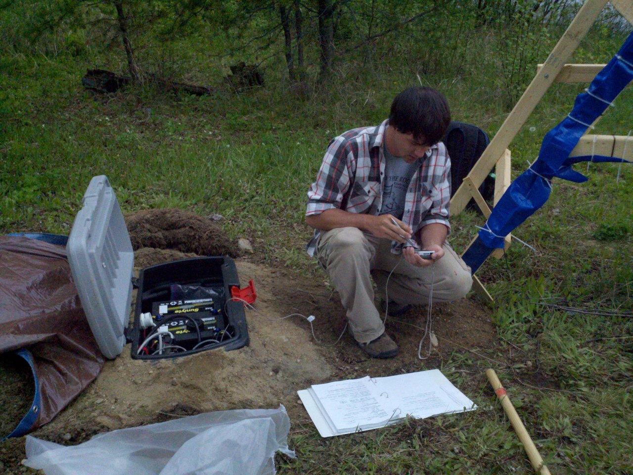
Installation of a SPREE station. (click to go to the SPREE website)

