

A04D
Lummi Island, WA, USA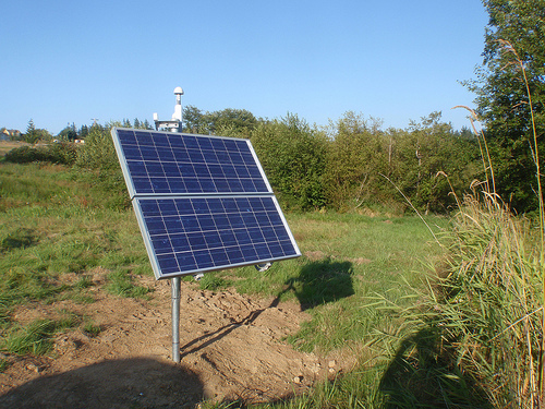
The USArray component of the NSF-funded EarthScope project ended its observational period in September 2021 and all remaining close-out tasks concluded in March 2022. Hundreds of seismic stations were transferred to other operators and continue to collect scientific observations. This USArray.org website is now in an archival state and will no longer be updated. To learn more about this project and the science it continues to enable, please view publications here: http://usarray.org/researchers/pubs and citations of the Transportable Array network DOI 10.7914/SN/TA.
To further advance geophysics support for the geophysics community, UNAVCO and IRIS are merging. The merged organization will be called EarthScope Consortium. As our science becomes more convergent, there is benefit to examining how we can support research and education as a single organization to conduct and advance cutting-edge geophysics. See our Joining Forces website for more information. The site earthscope.org will soon host the new EarthScope Consortium website.

Principal Investigators and Institutions:
Mike Brudzinski, Miami University
Richard Allen, UC Berkeley
Funding Source:
NSF EarthScope
Field Dates:
10/2007 - 9/2010
Equipment Used:
21 Broadband Sensors
Description:
A deployment of broadband and short period seismic instruments from Earthscope's Flexible Array is being used to study segmentation along the length of the Cascadia subduction zone. The experiment is designed to examine the potential links between episodic tremor and slip and the three-dimensional structure of the overriding plate including differences in the geologic terranes and features associated with seismogenic behavior. The Flexible Array deployment complements existing seismic stations from the Transportable Array and permanent networks to provide a uniformly dense network with a typical station spacing of 40 km. Station coverage extends from northern California, through Oregon, to the northern border of Washington, from the coast to the eastern side of the volcanic arc. This dense seismic station coverage, combined with enhanced GPS instrumentation from the Plate Boundary Observatory, is being used to investigate spatial and temporal patterns of non-volcanic tremor and slow slip episodes throughout the entire Cascadia subduction zone. Preliminary work reveals segmentation in the characteristics of episodic tremor and slip which do not appear to correlate with the subducting plate. Seismic imaging of the overriding continental plate will provide the necessary structural control to investigate potential relationships with along-strike variations in geology and rheology of the upper plate.

