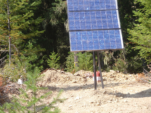
K02D
Willamette Meridian, OR, USA
The USArray component of the NSF-funded EarthScope project ended its observational period in September 2021 and all remaining close-out tasks concluded in March 2022. Hundreds of seismic stations were transferred to other operators and continue to collect scientific observations. This USArray.org website is now in an archival state and will no longer be updated. To learn more about this project and the science it continues to enable, please view publications here: http://usarray.org/researchers/pubs and citations of the Transportable Array network DOI 10.7914/SN/TA.
To further advance geophysics support for the geophysics community, UNAVCO and IRIS are merging. The merged organization will be called EarthScope Consortium. As our science becomes more convergent, there is benefit to examining how we can support research and education as a single organization to conduct and advance cutting-edge geophysics. See our Joining Forces website for more information. The site earthscope.org will soon host the new EarthScope Consortium website.


Principal Investigators and Institutions:
Charles Langston, Center for Earthquake Research and Information- Memphis
Christine Powell, Center for Earthquake Research and Information- Memphis
Stephen Horton, Center for Earthquake Research and Information- Memphis
Heather DeShon, Center for Earthquake Research and Information- Memphis
Chuck Ammon - Penn State University
Robert Herrmann - St. Louis University
William Thomas - University of Kentucky (consultant)
Funding Source:
NSF EarthScope
Field Dates:
8/2011-8/2015
Equipment Used:
62 Broadband Stations
Description:
Passage of the EarthScope Transportable Array across the Mississippi Embayment is providing an opportunity to investigate lithospheric structure associated with active deformation and an ancient, intracratonic rift. The Mississippi Embayment is a first-order geological structure of the North American continent with a long and complex geological history affected by at least two periods of continental breakup. The reason for geologically recent basin subsidence is enigmatic since subsidence began about 100 million years ago and is not linked to a major tectonic episode. In addition, the active New Madrid seismic zone (NMSZ) is located in the upper crust within the northern Mississippi Embayment. Lithospheric seismic velocity heterogeneity and anisotropy are likely indicators of the dynamic processes associated with basin subsidence and earthquake genesis in the region.
The seismic experiment incorporates stations of EarthScope's Transportable Array and a higher density FlexArray deployment to provide an overall framework of lithospheric velocity and anisotropy structure to depths exceeding the upper mantle transition zone. Detailed variations in deep structure perpendicular and parallel to the embayment axis are imaged using three dense lines of FlexArray stations that extend within and outside of the Mississippi Embayment. Major issues that are addressed include 1) the primary differences in lithospheric structure between the embayment and the surrounding region, 2) the nature of early Cambrian rifting and relationship to pre-existing structure, 3) the dynamic processes responsible for basin subsidence, and 4) the relationship of the NMSZ to large scale lithospheric structure. This is accomplished through joint interpretation of seismic velocity tomography, potential fields, transfer/receiver functions, and depth-dependent anisotropy images generated using traditional and new geophysical techniques.
For more information please click here.