

O02D
Mt. Diablo Meridian, CA, USA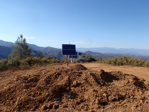
The USArray component of the NSF-funded EarthScope project ended its observational period in September 2021 and all remaining close-out tasks concluded in March 2022. Hundreds of seismic stations were transferred to other operators and continue to collect scientific observations. This USArray.org website is now in an archival state and will no longer be updated. To learn more about this project and the science it continues to enable, please view publications here: http://usarray.org/researchers/pubs and citations of the Transportable Array network DOI 10.7914/SN/TA.
To further advance geophysics support for the geophysics community, UNAVCO and IRIS are merging. The merged organization will be called EarthScope Consortium. As our science becomes more convergent, there is benefit to examining how we can support research and education as a single organization to conduct and advance cutting-edge geophysics. See our Joining Forces website for more information. The site earthscope.org will soon host the new EarthScope Consortium website.

Principal Investigators and Institutions:
Eugene Humphreys, University of Oregon, Eugene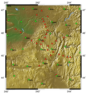
Funding Source:
NSF - Earthscope
Field Dates:
9/2006 – 10/2008
Equipment Used:
20 broadband stations
Data Status:
Archive ongoing 90% available
Network Code:
ZG
Description:
The Yellowstone hotspot initiated about 16.5 m.y. ago with a flood basalt eruption concentrated in NE Oregon. The origin of this event is not clear, nor is its overall effect on the lithosphere. This study will help us to understand how the Yellowstone hotspot began and the processes within the continental lithospheric. Several observations seem inconsistent with the plume hypothesis: there was no pre-eruptive uplift, magmatic fissuring occurred from a narrow but 700 km-long zone, and the main focus of magmatism occurred far off of the current Yellowstone hotspot track. This is a particularly suitable location for this study; nowhere else is there such a large, well-exposed, young and accessible area of continental growth interior to the continent.
The investigators will deploy 25-station teleseismic stations coordinated with the USArray deployment in the Wallowa area to image basic crustal and upper mantle structure in NE Oregon and nearby regions. This is the region from which the greatest basalt eruption occurred, and it is that which witnessed a remarkable uplift event that created a bull's eye pattern of relief with the Wallowa pluton at its center. The seismic investigation will be augmented with a focused set of geodynamic models to test a range of hypotheses in a manner that enforces mass and heat conservation and force balance under the constraints of realistic rheologic behavior.
The research plan of this proposal is designed to improve on the methods used to understand Earth processes by using geodynamic computer models to quantitatively relate hypotheses and a range of observations, and by studying a region with a teleseismic array of crustal-scale resolution embedded within a national array (USArray) of lithospheric-scale resolution. This project will prepare students and post-docs for the future through collaborations, participation in a diverse set of disciplines, and integration of the range of findings into consistent results.
Publications/ Abstracts
Gao, H, E. Humphreys, H. Yao, R. van der Hilst, Crust and lithosphere structure of the Northwestern U.S. with ambient noise tomography: Terrane accretion and Cascade arc development, Earth Planet. Sci. Lett., 304, 202-211, 2011.
Schmandt, B, E. Humphreys, Seismically Imaged Relict Slab from the 55 Ma Siletzia Accretion to Northwest USA, Geology, 39, 175-179, 2011.
Long, M. D., Gao, H., Klaus, A., Wagner, L. S., Fouch, M. J., James, D. E., & Humphreys, E. D., Shear wave splitting and the pattern of mantle flow beneath eastern Oregon, Earth and Planetary Sci. Lett., 288, 359-369, 2009.
Zandt, G., and E. Humphreys, Toroidal mantle flow through the western U.S. slab window, Geology, in review (accepted), 2007.
Nature 438, 842-845 (8 December 2005) | doi:10.1038/nature04313; Received 14 March 2005; Accepted 6 October 2005;A lithospheric instability origin for Columbia River flood basalts and Wallowa Mountains uplift in northeast Oregon,T. C. Hales1, D. L. Abt1,2, E. D. Humphreys1 & J. J. Roering1
American Geophysical Union, Fall Meeting 2007, abstract #T23A-1206, Seismic Imaging Beneath the Region of the Wallowa Mountains in Northeast OregonGao, H.; Humphreys, G.

