

F04D
Rainier, OR, USA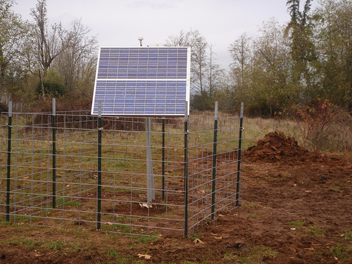
The USArray component of the NSF-funded EarthScope project ended its observational period in September 2021 and all remaining close-out tasks concluded in March 2022. Hundreds of seismic stations were transferred to other operators and continue to collect scientific observations. This USArray.org website is now in an archival state and will no longer be updated. To learn more about this project and the science it continues to enable, please view publications here: http://usarray.org/researchers/pubs and citations of the Transportable Array network DOI 10.7914/SN/TA.
To further advance geophysics support for the geophysics community, UNAVCO and IRIS are merging. The merged organization will be called EarthScope Consortium. As our science becomes more convergent, there is benefit to examining how we can support research and education as a single organization to conduct and advance cutting-edge geophysics. See our Joining Forces website for more information. The site earthscope.org will soon host the new EarthScope Consortium website.

Principal Investigators and Institutions:
Ken Creager, University of Washington
John Vidale, University of Washington
Heidi Houston, University of Washington
Funding Source:
NSF GeoPRISMS and EarthScope
Field Dates:
6/2014 - 5/2016
Equipment Used:
70 Broadband sensors (passive)
2500+ texans with 4.5Hz geophones (active)
Network Code:
XD
Description:
To better understand volcanic activity, it is fundamental to get an accurate representation of magma generation zones and storage regions in the Earth's crust and upper mantle. Illuminating the architecture of the plumbing system beneath volcanoes will allow scientists to determine (1) at which depths and conditions magmas are generated, and (2) the shapes and sizes of pathways and reservoirs along which magma travels towards the surface. Such knowledge will allow scientists to make more informed predictions on the durations of volcanic crises and on the total volume of erupted material during eruptive episodes.
This project focuses on the Mount St. Helens volcanic edifice, (WA, USA), whose explosive eruption in 1980 attracted the world's attention, and was the first volcano to be thoroughly monitored with modern instruments. Mount St. Helens provides an ideal setting to apply state-of-the-art geophysical and geochemical techniques to image its subterranean roots: It is active, easily accessible, and has a well recorded past history. The project will use several different methods (active and passive source seismic tomography and scattered wave imaging, magnetotelluric imaging, petrology and geochemistry), involving a large collaborative team, to image the volcano's plumbing system with unprecedented resolution from the subducting plate to the surface. The results will be informative for many other volcanoes around the world, particularly those located along the infamous Pacific Ring of Fire.
Publications:
J. E. Vidale, D. A. Schmidt, S. D. Malone, A. J. Hotovec-Ellis, S. C. Moran, K. C. Creager andH. Houston. "Deep long-period earthquakes west of the volcanic arc in Oregon: Evidence of serpentine dehydration in the fore-arc mantle wedge," Geophysical Research Letters, v.41, 2014, p. 370.
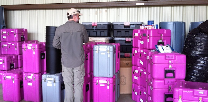
Equipment staging area
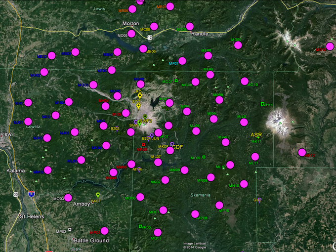
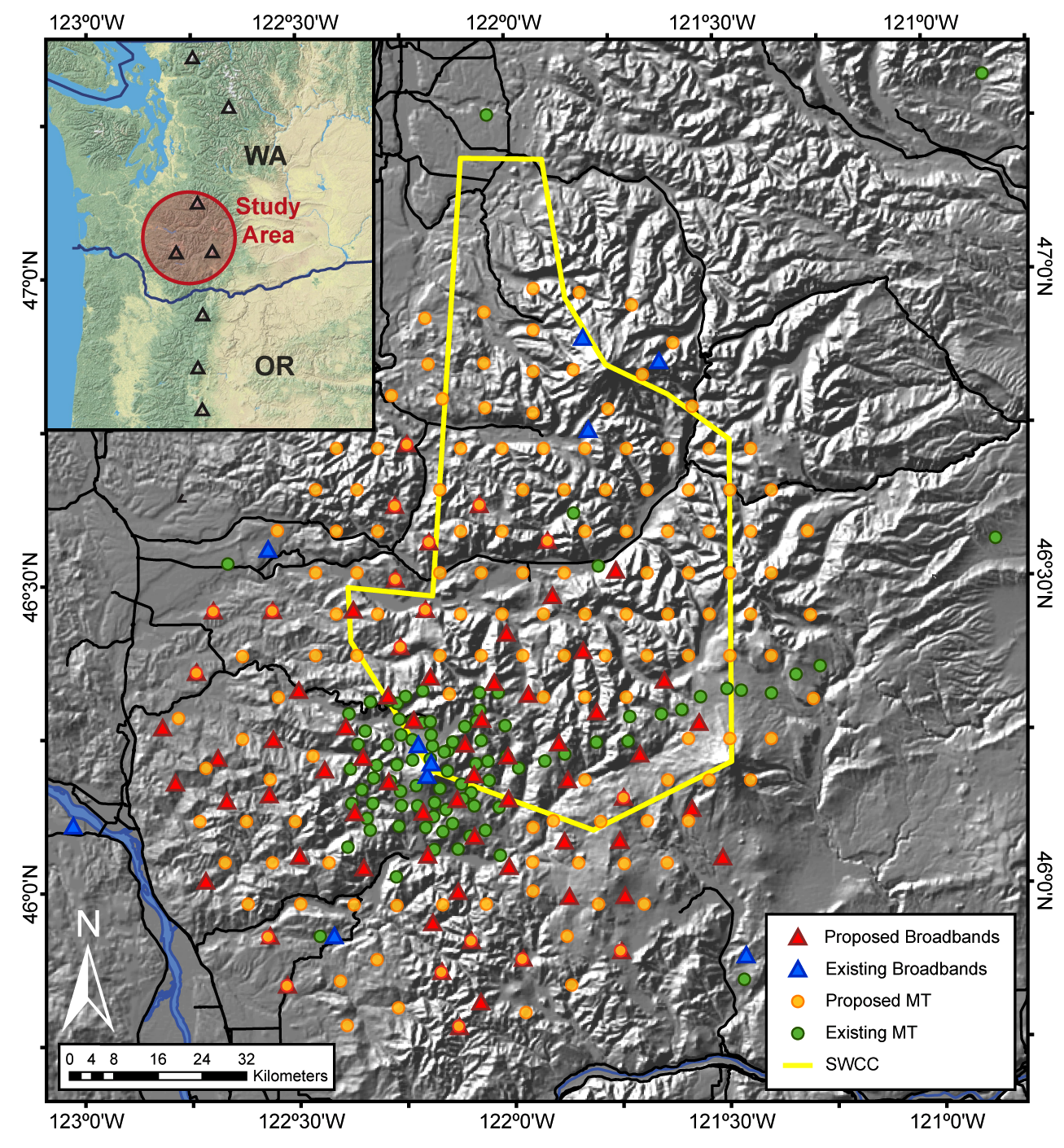
Broadband deployment map
![]()
Clearing a path to the station
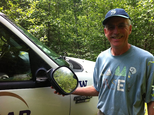
Ken Creager (PI) inspects a vehicle after a rough road to a site installation
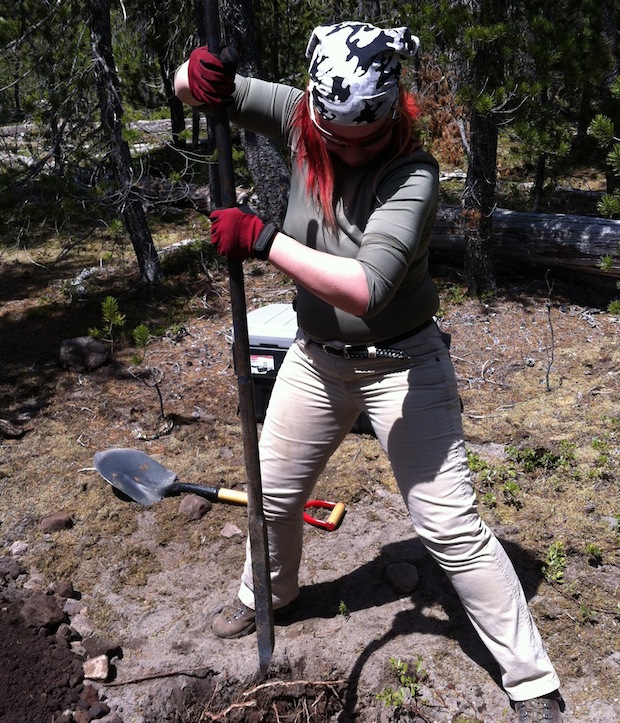
Post-doc Alicia Hotovec uses a breaker bar during site installation
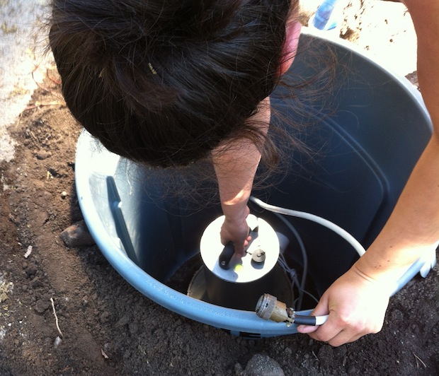
Graduate student Kelley Hall levels a broadband sensor
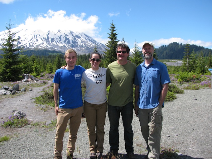
Team C (Tim, Kelley, Geoff, and Seth) pauses for a group photo at Lahar Viewpoint

