

A36M
Sachs Harbour, NT, CAN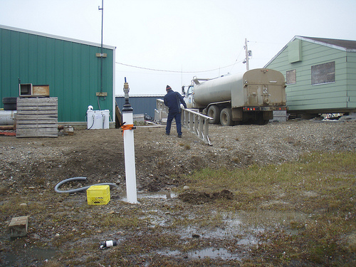
The USArray component of the NSF-funded EarthScope project ended its observational period in September 2021 and all remaining close-out tasks concluded in March 2022. Hundreds of seismic stations were transferred to other operators and continue to collect scientific observations. This USArray.org website is now in an archival state and will no longer be updated. To learn more about this project and the science it continues to enable, please view publications here: http://usarray.org/researchers/pubs and citations of the Transportable Array network DOI 10.7914/SN/TA.
To further advance geophysics support for the geophysics community, UNAVCO and IRIS are merging. The merged organization will be called EarthScope Consortium. As our science becomes more convergent, there is benefit to examining how we can support research and education as a single organization to conduct and advance cutting-edge geophysics. See our Joining Forces website for more information. The site earthscope.org will soon host the new EarthScope Consortium website.

Principal Investigators and Institutions:
Donna Shillington, LDEO / Columbia University
Funding Source:
NSF EarthScope
Field Dates:
3/2014 and 8/2015
Equipment Used:
1200 Texans
Data Status:
Phase 1 archived, Phase 2 in field 8/2015
Description:
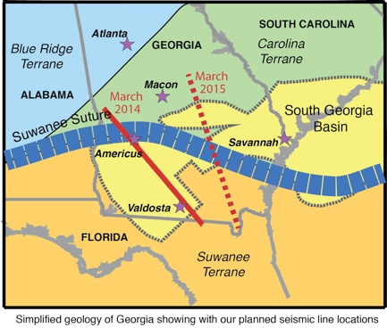
The rocks beneath the coastal plain of Georgia were at the center of the most fundamental tectonic events to shape eastern North America: continental collision around 290 million years ago to form the super continent of Pangea; continental breakup leading to the formation of the Atlantic Ocean beginning around 230 million years ago; and one of the biggest magmatic events in Earth’s history around 200 million years ago, the Central Atlantic Magmatic Province. A record of these events and possible relationships between them is preserved by structures in the crust of southern Georgia, including a suture between two different types of continent, the largest failed rift basin along the east coast of North America and igneous rocks from the Central Atlantic Magmatic Province. These investigators and a large team of graduate and undergraduate students are collecting seismic data that can be used to image structures in the crust to understand these tectonic events. Hundreds of geophones are being deployed along two ~300-km-long profiles across the suture and the basin, which record sound waves generated by a series of explosive charges spaced ~20 km apart. Geophones are also being deployed in a box focused on the basin to record explosive charges arranged in a grid. The speed that sound waves travel through rocks varies with composition, porosity, and other rock characteristics. The investigators are using travel-time tomography to create velocity models that reveal the distribution of igneous rocks, variations in the thickness of the crust and variations in crustal composition. Besides a better understanding of fundamental tectonic processes, other benefits of this program include training and education of students, and characterization of basins and igneous rocks that might be good targets for carbon sequestration.
Chastity Aiken installs a 4.5Hz geophone and texan datalogger
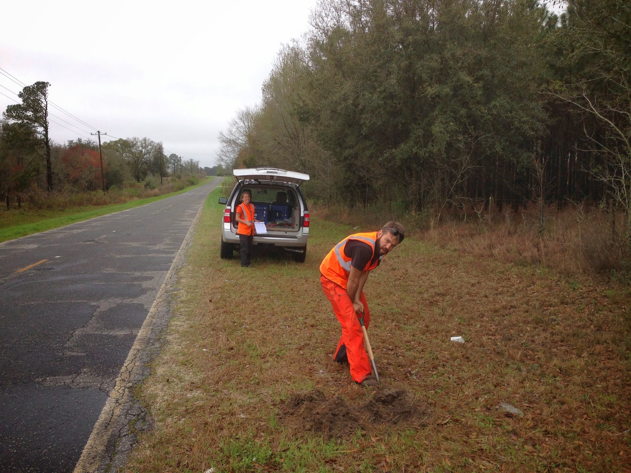
Meghan and Nate installing a station
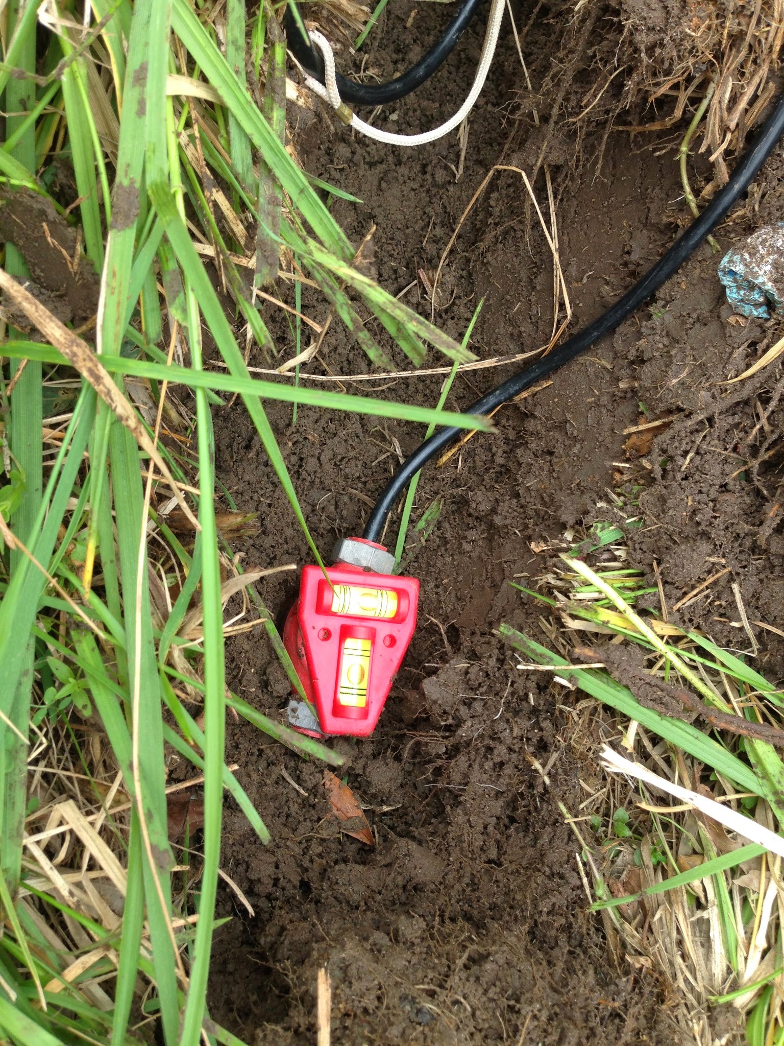
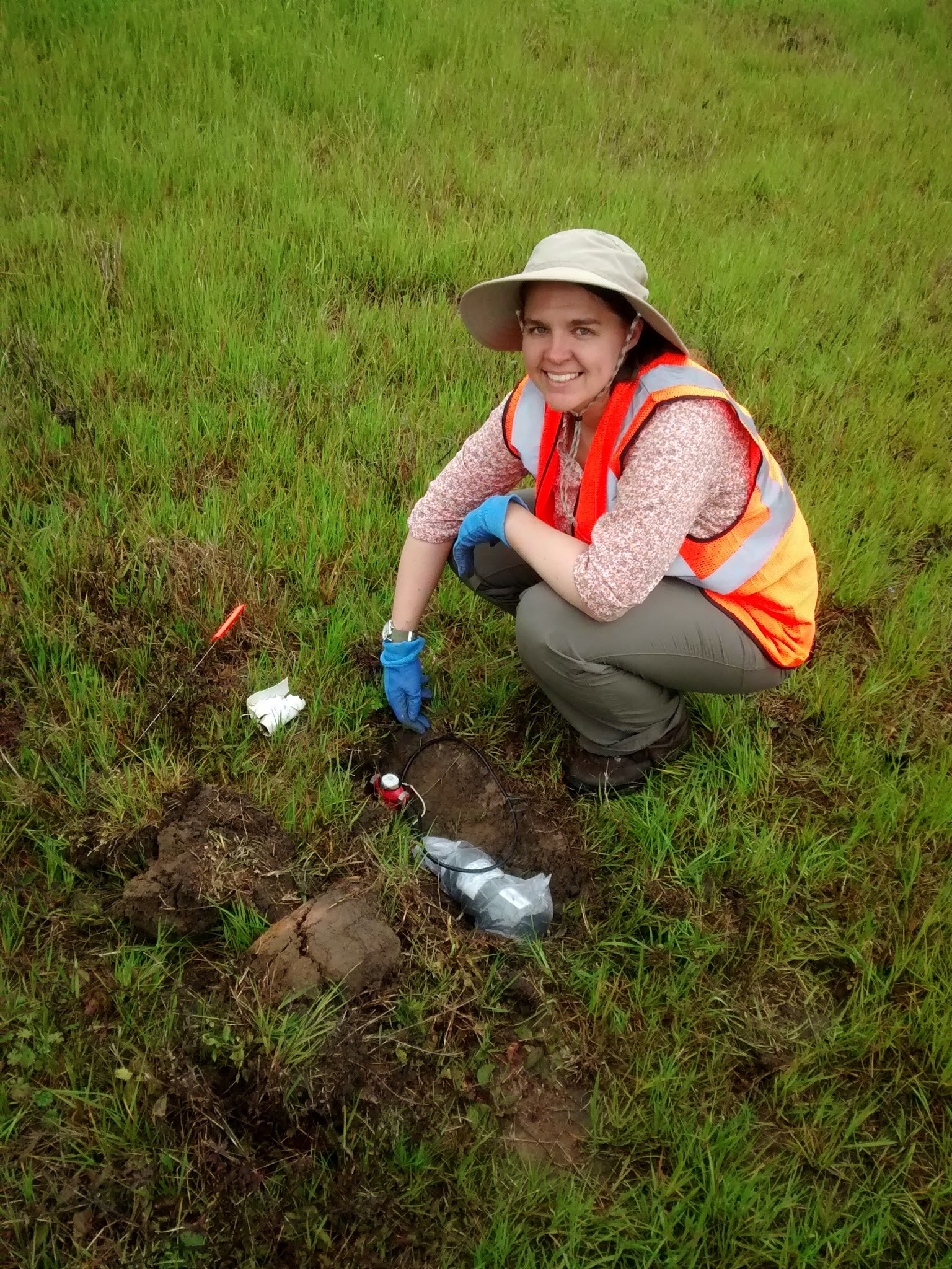
A perfectly level geophone (it's harder than you think)
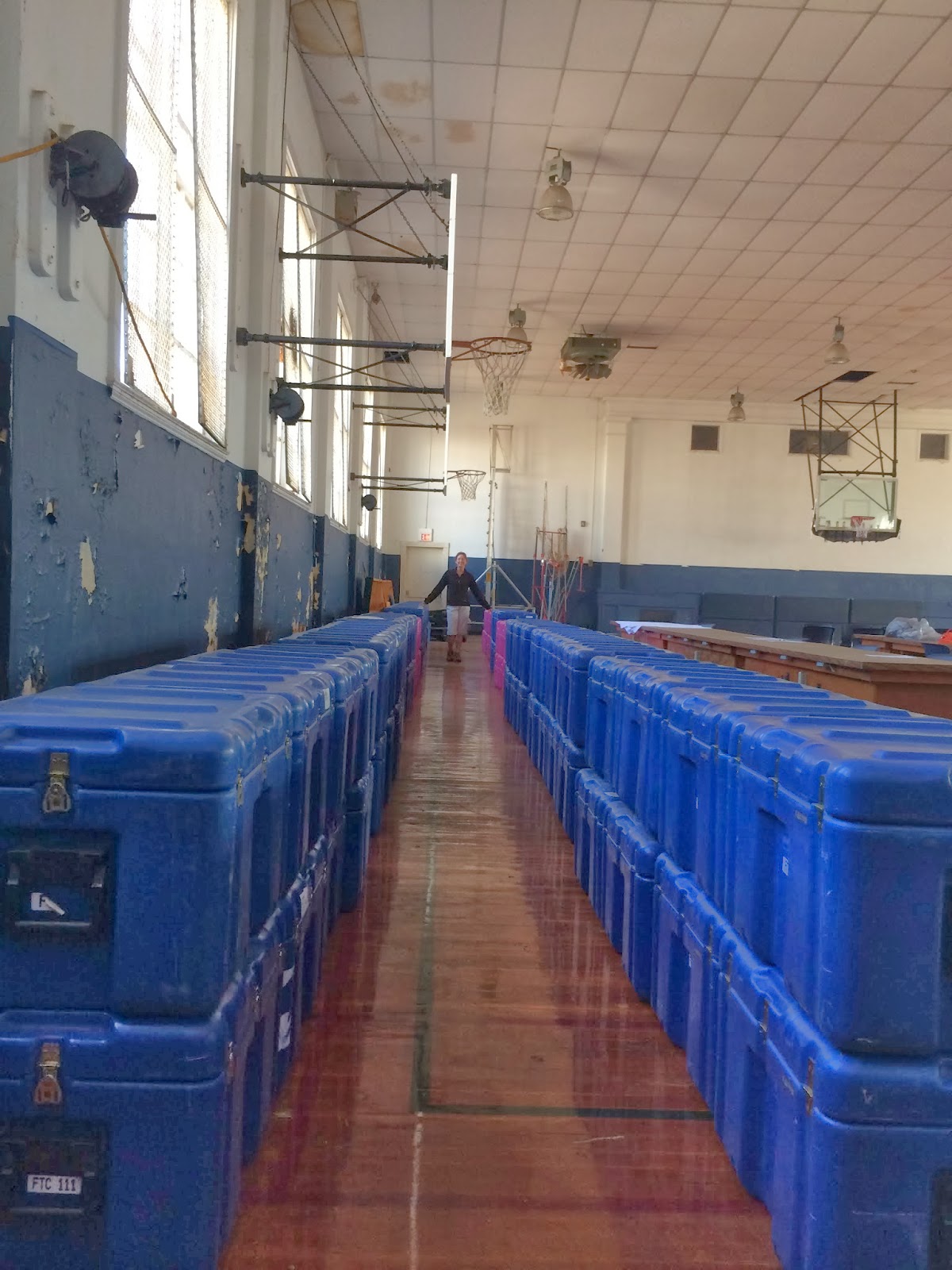
Seismic equipment staging area

