

H17A
Grant Village (NPS), Yellowstone Nt. Park, WY, USA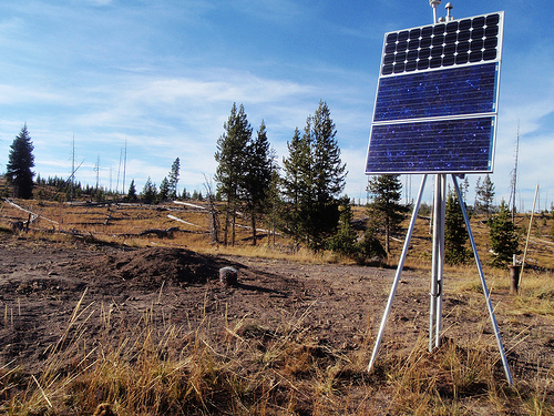
The USArray component of the NSF-funded EarthScope project ended its observational period in September 2021 and all remaining close-out tasks concluded in March 2022. Hundreds of seismic stations were transferred to other operators and continue to collect scientific observations. This USArray.org website is now in an archival state and will no longer be updated. To learn more about this project and the science it continues to enable, please view publications here: http://usarray.org/researchers/pubs and citations of the Transportable Array network DOI 10.7914/SN/TA.
To further advance geophysics support for the geophysics community, UNAVCO and IRIS are merging. The merged organization will be called EarthScope Consortium. As our science becomes more convergent, there is benefit to examining how we can support research and education as a single organization to conduct and advance cutting-edge geophysics. See our Joining Forces website for more information. The site earthscope.org will soon host the new EarthScope Consortium website.

From 2006-2018, the EarthScope USArray magnetotelluric (MT) program collected observations of the Earth's naturally occurring electric and magnetic fields. These efforts were facilitated under a partnership between IRIS and Oregon State University (PI: Adam Schultz). A backbone network consisting of seven stations (MT-BB) provided reference observations across the United States from 2008-2015. In addition, yearly campaigns of temporarily deployed instruments called the MT-Transportable Array (MT-TA) targeted regions identified by the MT science community (2006-2011 Pacific Northwest, 2011-2013 Mid-Continent Rift, 2014-2017 Eastern North America, 2017-2018 Northern Great Plains). The MT-TA stations were spaced in 70-km grids and operated continuously for several weeks, producing observations needed to resolve the conductivity structure of the crust and uppermost mantle. These observations may be integrated with other datasets to identify zones of fluid, melt, ores, and other markers that relate to the structure and evolution of the North American continent. Continuous telluric (ambient electric field) and geomagnetic field timeseries are available from IRIS and also processed into transfer functions that are available for for MT-TA and other contributed MT datasets. The USArray MT program also provided instruments and limited support (i.e. instrument preparation and data handling) for PI-driven Flexible Array (MT-FA) studies.
EarthScope MT completed its surveying efforts across the Great Plains in 2017-2018, filling in a large gap in coverage and creating a continuous swath of MT observations across two-thirds of the U.S.
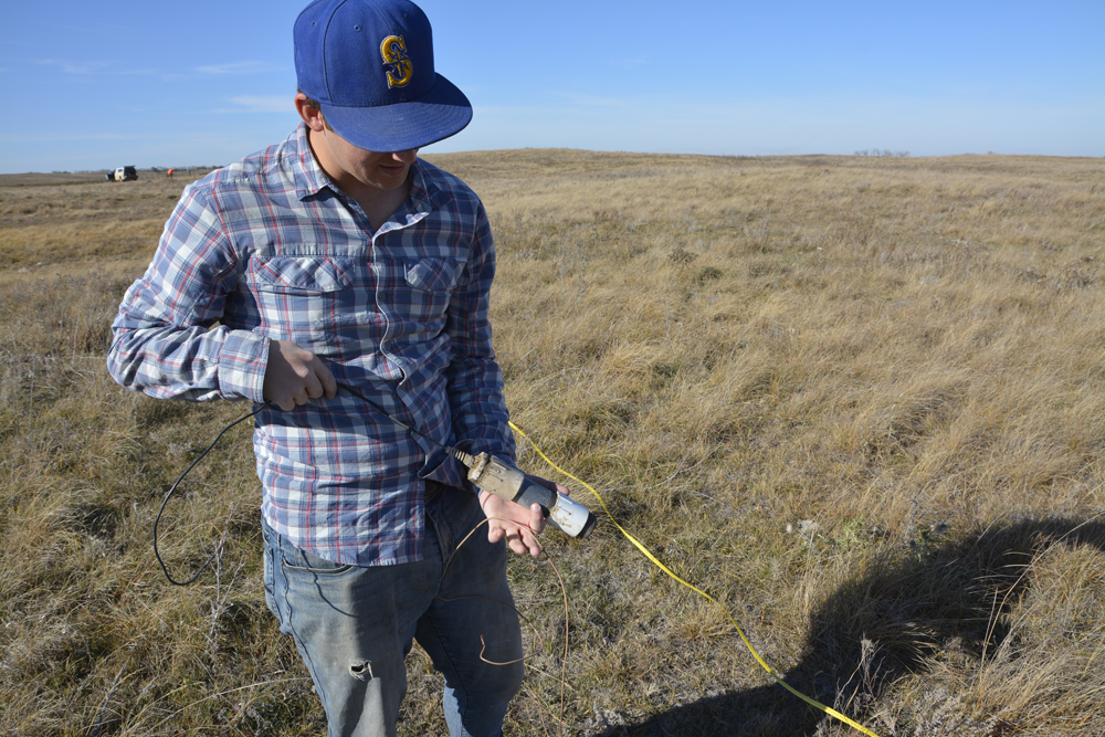
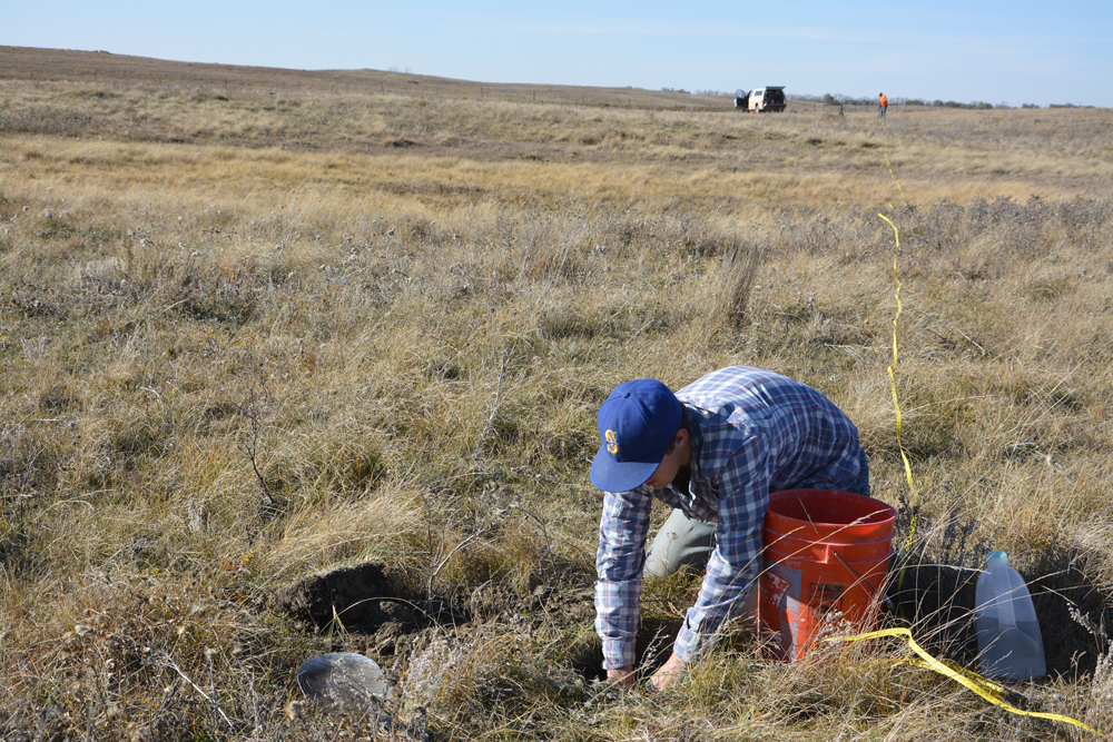
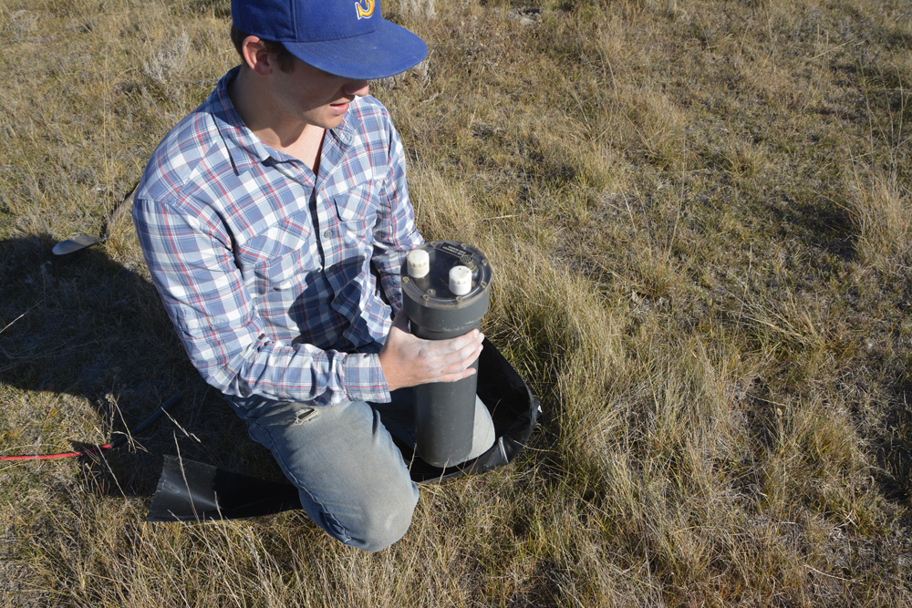
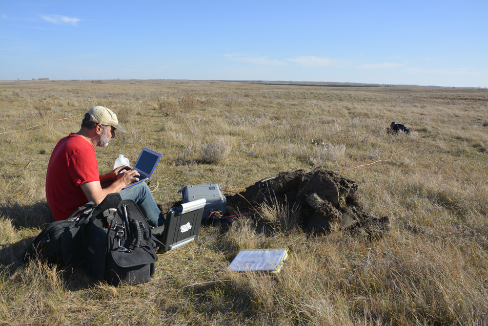
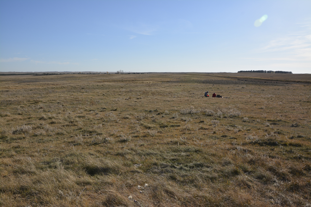
Installing an MT-TA station (NDD28) near New Johns Lake, North Dakota on October 19, 2017.
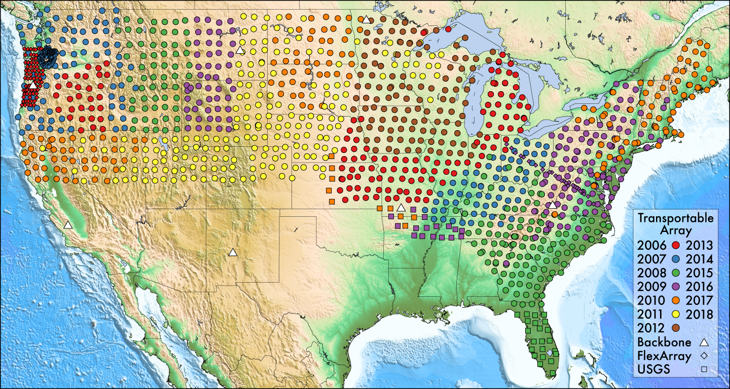
Footprints of MT-TA (by year), MT-BB, and MT-FA (iMUSH, MOCHA onland, and MAGIC) stations that were operated from 2006-2018 during EarthScope. Click to enlarge
Under the "Seismological Facilities for the Advancement of Geoscience" award from NSF (2018-2023), IRIS is establishing comprehensive PI support to use MT instruments from the PASSCAL Instrument Center. In addition, a grant from NASA is supporting continued regional MT surveys in the southwestern U.S. Andy Frassetto serves as the MT Program Manager at IRIS overseeing these activities. The scientific goals of the NSF- and NASA-funded MT activities are advised by members of the MT science community serving on the Electromagnetic Advisory Committee (EMAC), chaired by Ninfa Bennington.

