

MDND
Maddock, ND, USA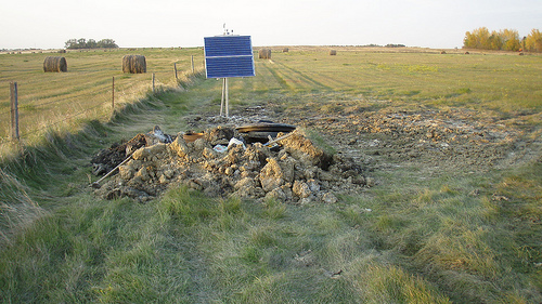
The USArray component of the NSF-funded EarthScope project ended its observational period in September 2021 and all remaining close-out tasks concluded in March 2022. Hundreds of seismic stations were transferred to other operators and continue to collect scientific observations. This USArray.org website is now in an archival state and will no longer be updated. To learn more about this project and the science it continues to enable, please view publications here: http://usarray.org/researchers/pubs and citations of the Transportable Array network DOI 10.7914/SN/TA.
To further advance geophysics support for the geophysics community, UNAVCO and IRIS are merging. The merged organization will be called EarthScope Consortium. As our science becomes more convergent, there is benefit to examining how we can support research and education as a single organization to conduct and advance cutting-edge geophysics. See our Joining Forces website for more information. The site earthscope.org will soon host the new EarthScope Consortium website.

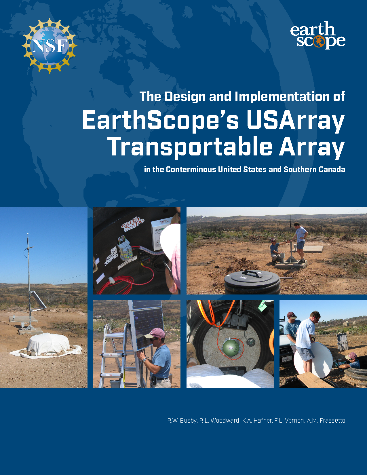
This report was completed on December 1, 2018 and documents the design and implementation details of the complete as-built Transportable Array in the Lower 48 United States and southernmost Canada. The emphasis is on the details that are essential for other network operators and data users to know, including exactly what equipment was used in the TA, how it was installed, and how it was operated. We also explore some of the specific decisions that aided the success of this project. A report covering the deployment of the Transportable Array to Alaska and northwestern Canada is expected in future years.
Standard resolution (22 mb)
High resolution (40 mb)
Please contact Andy Frassetto if you have any comments or questions.

